The world map we often come across is based on the geographical location & size of every country.
Have you ever wondered how people are scattered around the globe. Fret not, you have come to the right place.
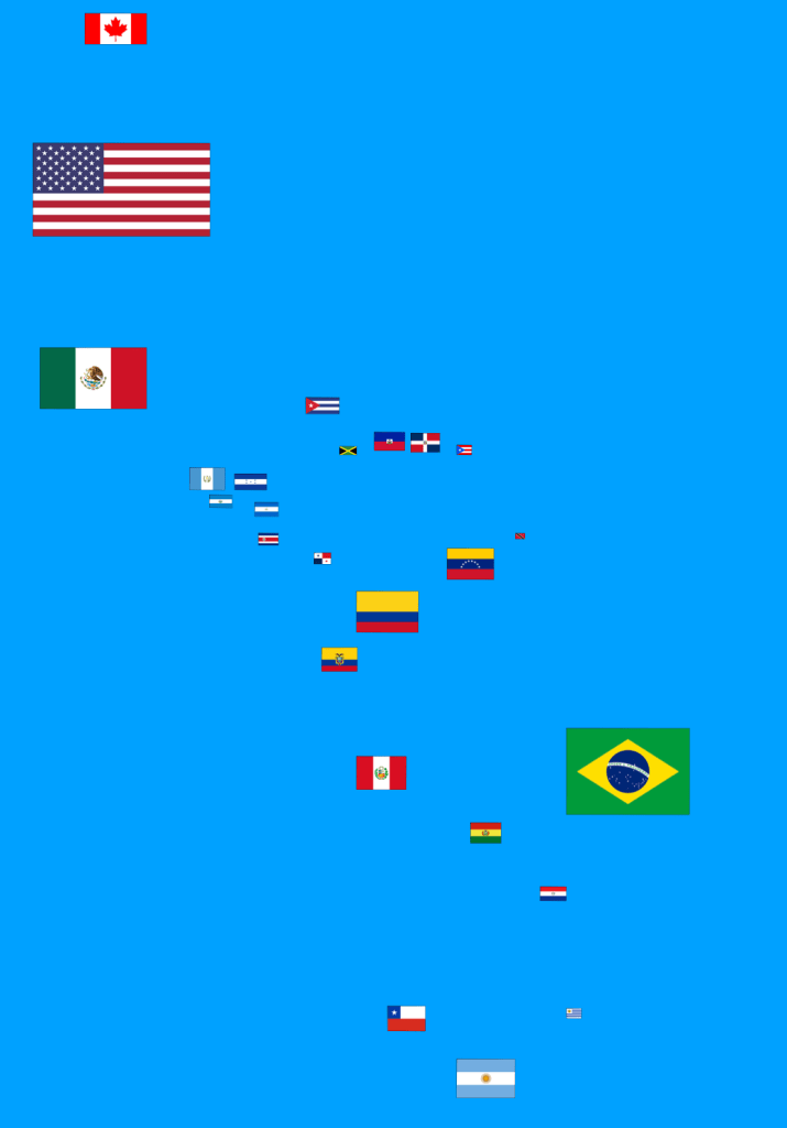
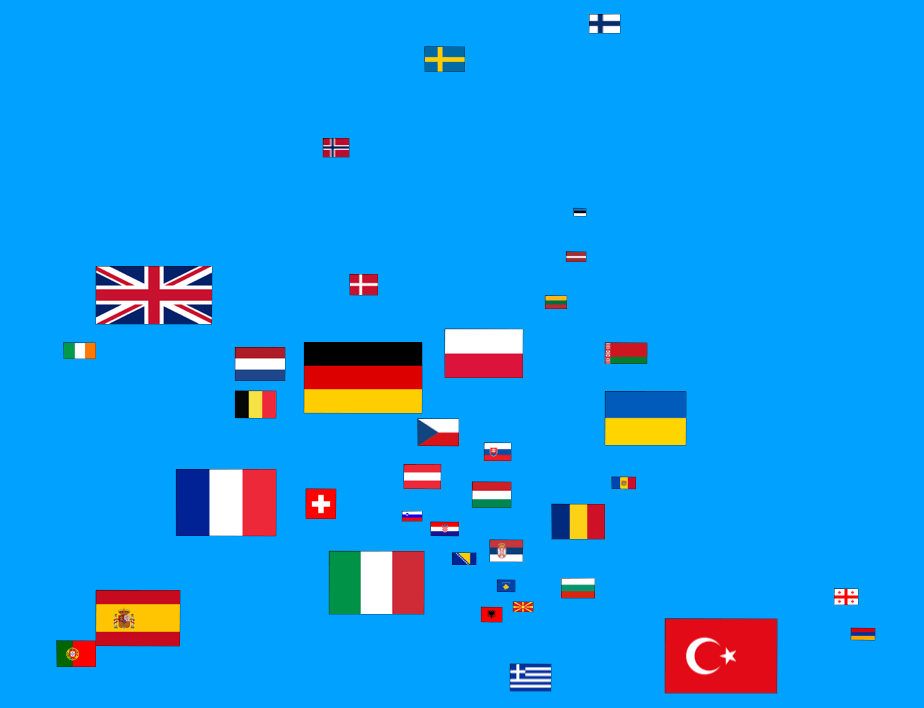
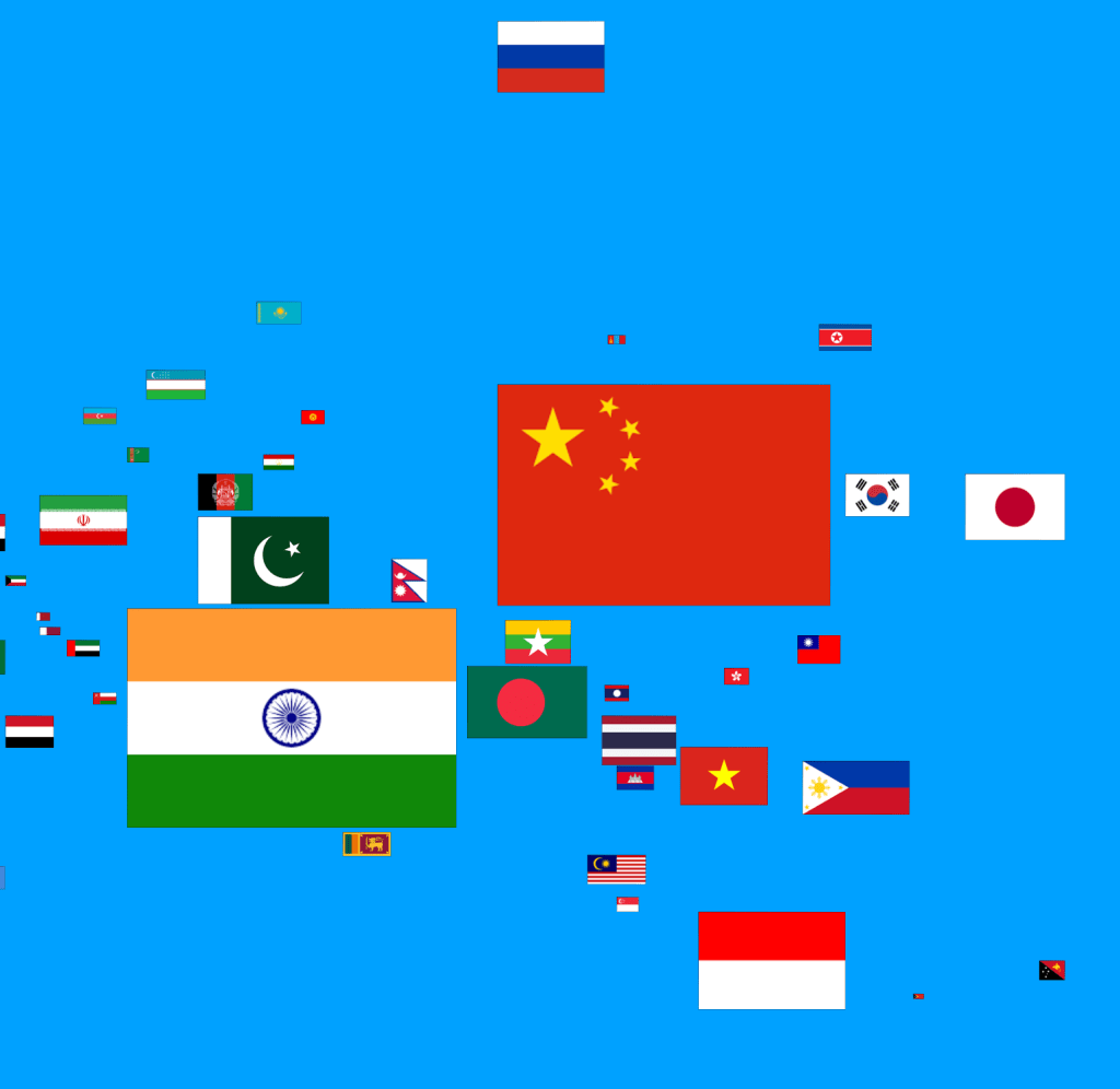
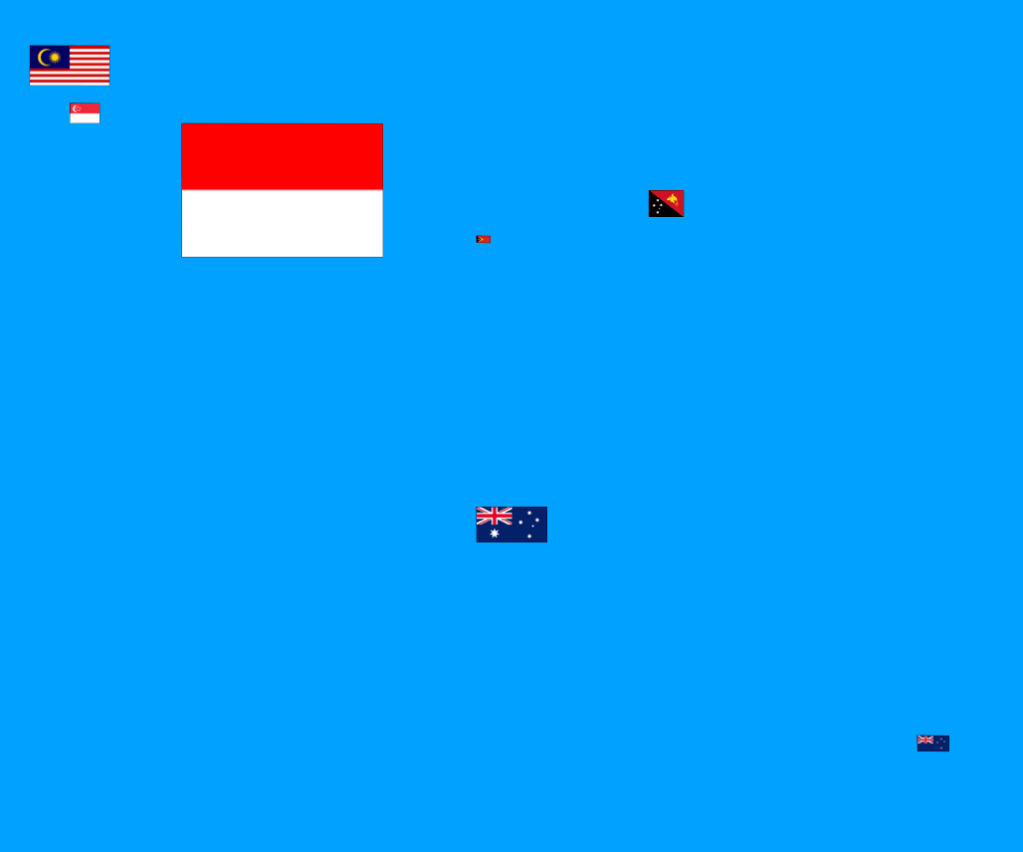
It took me months to create a map of the world, where each country’s flag is placed on the map in terms of its population size. Its location will be the similar to its geographical location on the globe. Try to spot your country in the heat map below. You would be able to gain a perspective on how your country’s population fare among the other giant nations.
From top to bottom
1. Global Map
2. Americas (North/South)
3. Africa /Middle East
4. Europe
5. Asia/ Middle East
6. South East Asia / Oceania